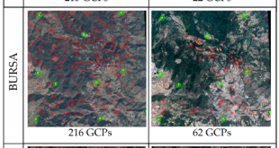
ISPRS International Journal of Geo-Information, 7(6), 229, (2018) Automated Orthorectification of VHR Satellite Images by SIFT based RPC Refinement Kartal, H., Alganci, U., Sertel, E. Abstract: Raw remotely sensed images contain geometric distortions and cannot be used directly for map-based applications, accurate locational information extraction or geospatial data integration. A …
Devamını Oku..Determination of the Olive Trees with Object Based Classification of Pleiades Satellite Image
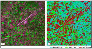
International Journal of Environment and Geoinformatics , 5, (2018) Determination of the Olive Trees with Object Based Classification of Pleiades Satellite Image Alganci, U., Sertel, E., Kaya, S. Abstract: Identification of fruit trees and determination of their spatial distribution is an important task for several agricultural activities including fruit yield …
Devamını Oku..Accuracy Assessment of Different Digital Surface Models
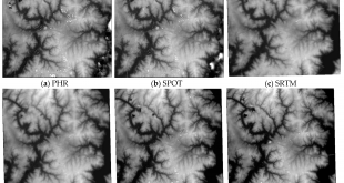
ISPRS International Journal of Geo-Information, 7(3), 114; (2018) Accuracy Assessment of Different Digital Surface Models Alganci, U.; Besol, B.; Sertel, E. Abstract: Digital elevation models (DEMs), which can occur in the form of digital surface models (DSMs) or digital terrain models (DTMs), are widely used as important geospatial information sources …
Devamını Oku..Single Frame Super Resolution of Remote Sensing Images By Convolutional Neural Networks
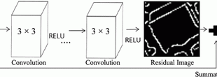
International Journal of Remote Sensing, 39:8, 2463-2479, DOI: 10.1080/01431161.2018.1425561, (2018) Single Frame Super Resolution of Remote Sensing Images By Convolutional Neural Networks Tuna, C, Unal, G. and Sertel, E. Abstract: Super resolution (SR) refers to generation of a high-resolution (HR) image from a decimated, blurred, low-resolution (LR) image set, which …
Devamını Oku..Dual Layer Convoluted Frequency Selective Surface Design in the 2.4 GHz and 5.8 GHz ISM Bands
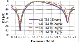
Applied Computational Electromagnetics Society Journal, Volume: 33, Issue: 4, Pages: 413-418, Apr 2018, DOI: ISSN: 1054-4887 Dual Layer Convoluted Frequency Selective Surface Design in the 2.4 GHz and 5.8 GHz ISM Bands B. Doken, M. Kartal Abstract: ndoor wireless devices operating in 2.4 GHz and 5.8 GHz ISM bands have …
Devamını Oku..Recent Satellite Technologies for Soil Salinity Assessment with Special Focus on Mediterranean Countries
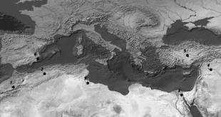
Fresenius Environmental Bulletin Journal, 26(1), 196-203 (2017) Recent Satellite Technologies for Soil Salinity Assessment with Special Focus on Mediterranean Countries Gorji, T., Sertel, E., Tanik, A. Abstract: Recent satellite technologies for soil salinity assessment with special focus on Mediterranean countries Gorji Taha1, Sertel Elif2, Tanik Aysegul1 1Faculty of Civil Engineering, …
Devamını Oku..Determining Lateral Offsets of Rocks Along The Eastern Part of The North Anatolian Fault Zone (Turkey) Using Spectral Classification of Satellite Images and Field Measurements, Geomatics
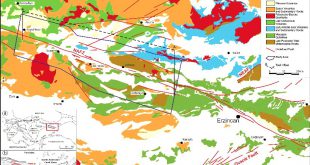
Geomatics, Natural Hazards and Risk,8 (2), 1276-1288. (2017) Determining Lateral Offsets of Rocks Along The Eastern Part of The North Anatolian Fault Zone (Turkey) Using Spectral Classification of Satellite Images and Field Measurements, Geomatics Gürsoy, Ö., Kaya, Ş., Cakir, Z.,Tatar, O., Canbaz, O. Abstract: Fault displacements are being measured by …
Devamını Oku..Monitoring Soil Salinity via Remote Sensing Technology Under Data Scarce Conditions: A Case Study From Turkey
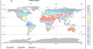
Ecological Indicators, 74, 384–391, (2017) Monitoring Soil Salinity via Remote Sensing Technology Under Data Scarce Conditions: A Case Study From Turkey Gorji, T., Sertel, E., Tanik, A. Abstract: Soil salinization is one of the severe land-degradation problems due to its adverse effects on land productivity. Each year severalhectares of lands …
Devamını Oku..The role of spatial analysis for aquaculture: a case study of Keban Dam lake
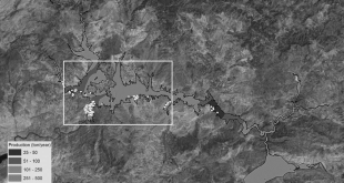
Fresenius Environmental Bulletin, 26(1), 405-412. (2017) The role of spatial analysis for aquaculture: a case study of Keban Dam lake Sivri, N., Seker, D.Z., Alganci, U., Basusta, N., Basusta, A., Akgun, H Abstract: Turkey is divided into 25 hydrologic basins depending on the topographic structure. These basins have different productivities …
Devamını Oku..Detecting of Lithological Units by Using Terrestrial Spectral Data and Remote Sensing Image
Journal of the Indian Society of Remote Sensing, 45(2), 259-269. (2017) Detecting of Lithological Units by Using Terrestrial Spectral Data and Remote Sensing Image Gürsoy, Ö., Kaya, Ş Abstract: The objective of the study was to carry out an automatic classification of the lithological units of interest using the integration …
Devamını Oku.. UHUZAM İTÜ – Uydu Haberleşme ve Uzaktan Algılama UYG-AR Merkezi