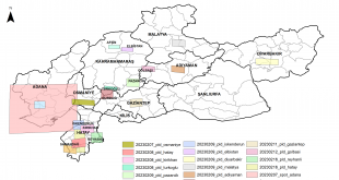
On February 6, two major earthquakes of 7.4 and 7.8 in magnitude hit city of Kahramanmaraş, Turkey. The first earthquake occurred at 4:17 am, and the second struck 9 hours later at 01:24 pm. The earthquakes had a catastrophic impact on eleven cities in Turkey and multiple regions in Syria, …
Read More..Satellite images shared with researchers by ITU-CSCRS to support scientific research after Kahramanmaraş Earthquakes
In order to request access to satellite imagery, please follow link
Read More..Workshop of the Project “Building the Infrastructure of the Pollution Monitoring System Specific to the Sea of Marmara Using Information Technologies” Supported by Tübitak
The workshop of the project “Establishing the Infrastructure of the Pollution Monitoring System Specific to the Marmara Sea Using Information Technologies”, carried out by Prof. Dr. Nebiye Musaoğlu and supported by TÜBİTAK, was held as an online zoom meeting in cooperation with the Union of Marmara Municipalities.
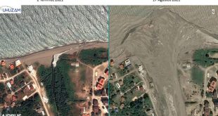
Read More..ITU-CSCRS Detected the Destruction of the Flood Disaster from Satellite
Istanbul Technical University (ITU) Satellite Communication and Remote Sensing Application and Research Center (CSCRS) viewed the destruction caused by the flood disaster in the Western Black Sea region from space. ITU CSCRS Director and ITU Civil Faculty Geomatics Engineering Department Head Prof. Dr. Mustafa Yanalak stated that there are significant …
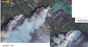
Read More..ITU-CSCRS Detects Damage Caused by Forest Fires from Satellite
Istanbul Technical University (ITU) Satellite Communication and Remote Sensing Application and Research Center (CSCRS) has viewed the destruction caused by forest fires in the Mediterranean and Aegean Regions from space via satellite. Turkey’s first satellite earth station, ITU CSCRS, has started a study to detect the destruction in nature after …
Read More..It was determined that the mucilage was cleared in the images of the Marmara Sea taken from space.
With the images taken from space by ITU CSCRS, it was determined that the mucilage removal campaign within the scope of the “Marmara Sea Action Plan” of the Ministry of Environment and Urbanization gave successful results on the sea surface. Istanbul Technical University (ITU) Satellite Communication and Remote Sensing Application …
Read More..Distribution of Mucilage and Ship Mobility in the Gulf of Izmit from Sentinel-1 SAR Images
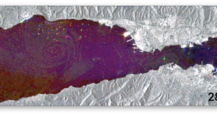
Distribution of mucilage and ship activity in the Gulf of Izmit from Sentinel-1 SAR images from May 11 to June 9, 2021 (SAR images can be obtained day and night in all weather conditions.)
Read More..Mucilage in the Sea of Marmara Viewed from Space
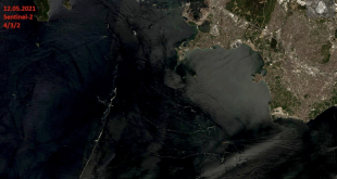
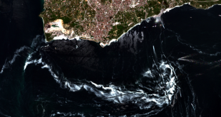
Turkey’s first satellite earth station ITU CSCRS has started a study to determine the distribution of mucilage in the Marmara Sea and the regions where it is concentrated. In this context, the mucilage distribution in the Sea of Marmara was monitored by the Pleiades, Spot 5 and Spot 6&7 satellites. …
Read More..Minister of Industry and Technology Mustafa VARANK Visited Our Center within the Scope of ITU Trip – 09.04.2021
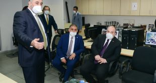
Industry and Technology Minister Mustafa Varank visited our center as part of the ITU trip and received detailed information about the work done at our center.
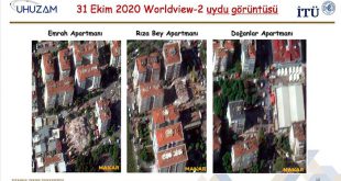
Read More..The Destruction Caused by the Izmir Earthquake Viewed from Space – 05.11.2020
Istanbul Technical University (ITU) Satellite Communication and Remote Sensing Center (CSCRS) viewed the destruction caused by the 6.6-magnitude earthquake, whose epicenter is in the Seferihisar district of Izmir, from space. Aegean Sea, Izmir’s Seferihisar district open on 30 October at earthquake in Turkey the law drowns occurred at 14:51, after …
Read More.. CSCRS İTÜ – Center for Satellite Communications and Remote Sensing