Monitoring Product Type and Development Processes


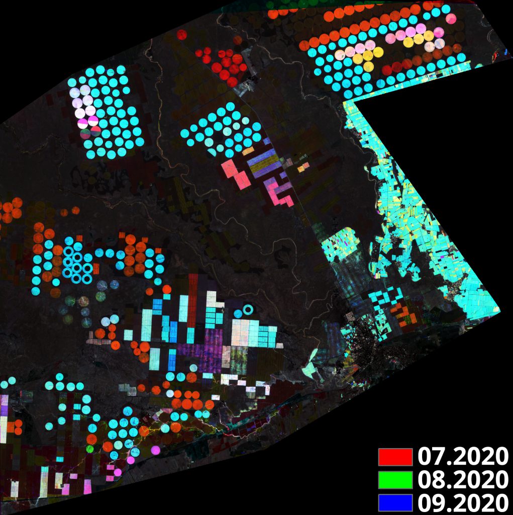
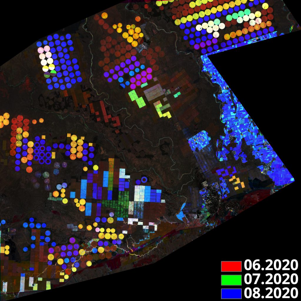
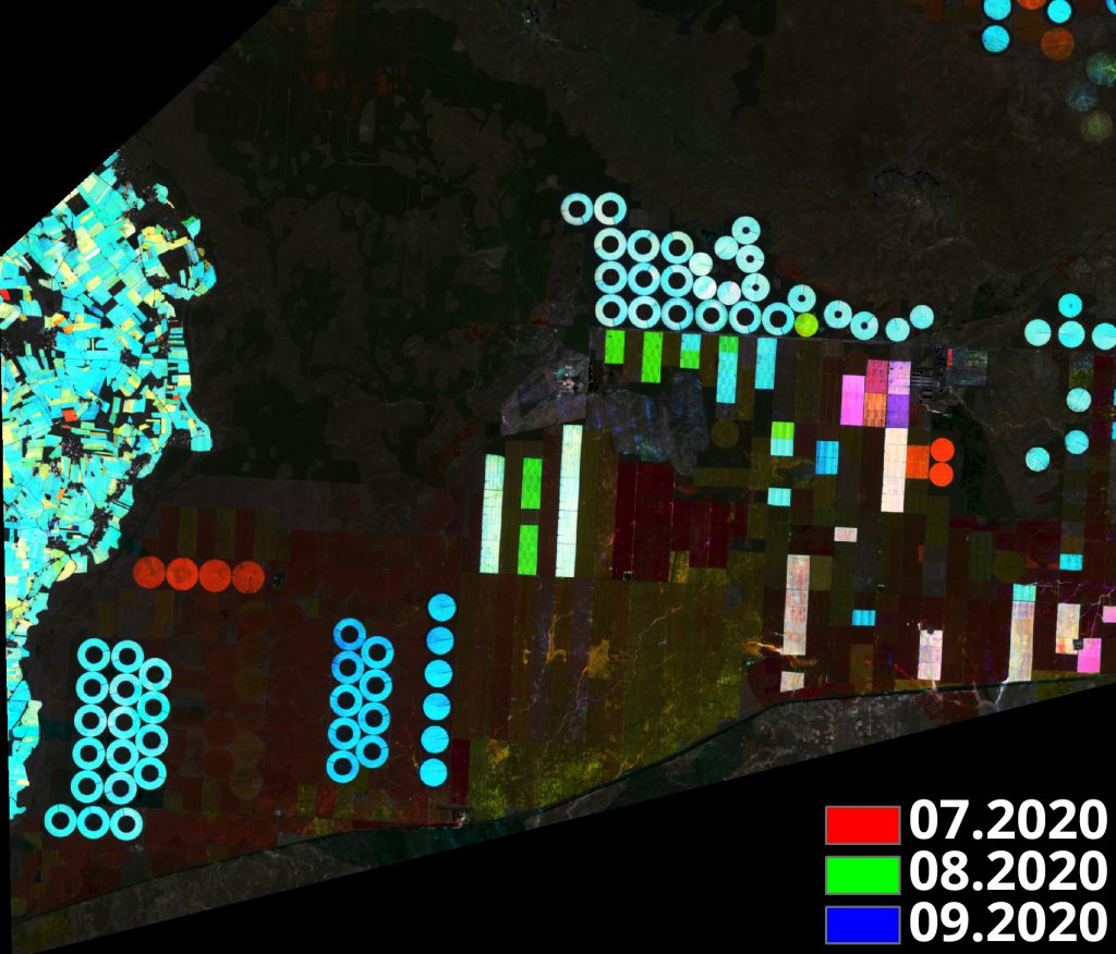
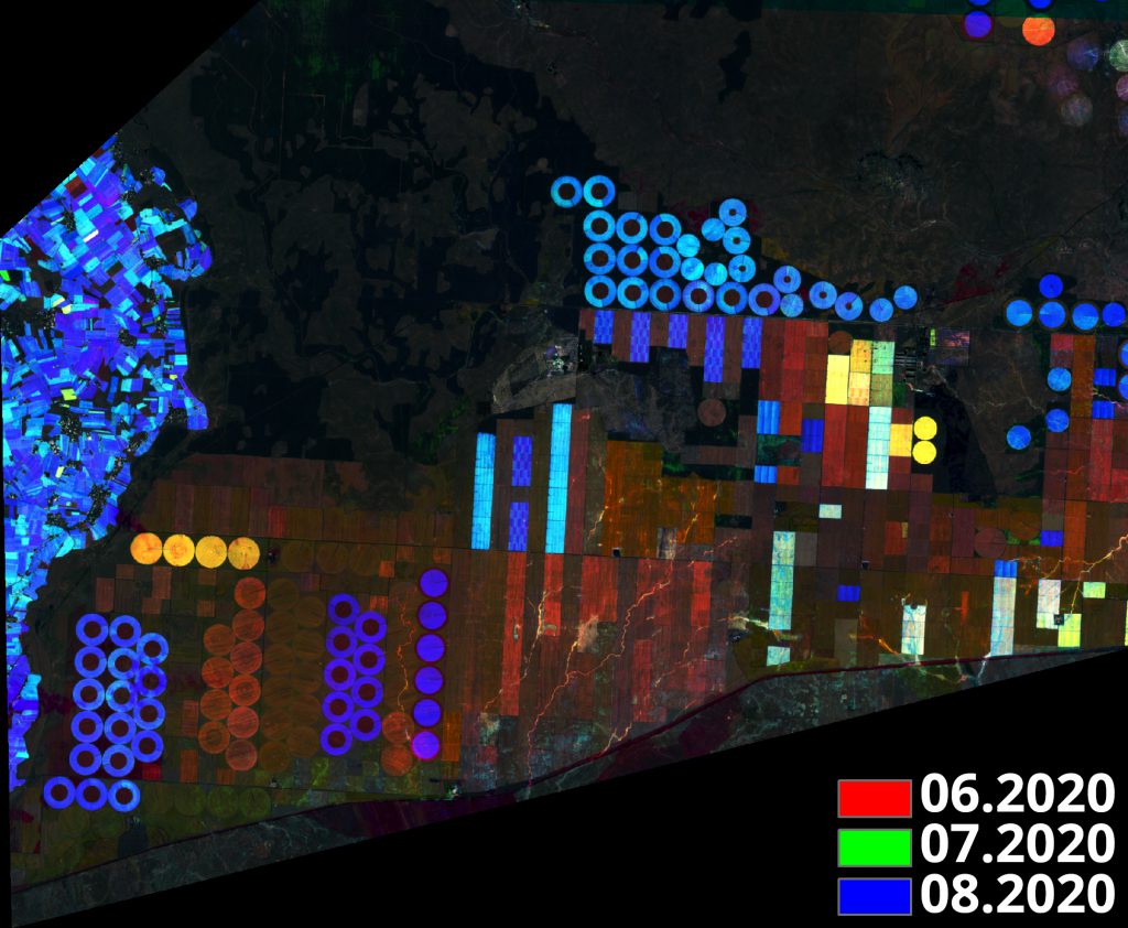
According to the phenology of the products, the product type and development can be followed from the satellite images detected on different dates.
Land Cover / Use Maps
Land cover/use classes can be determined by various image processing methods (image digitization, classification, arithmetic operations, etc.) applied to satellite images.


 CSCRS İTÜ – Center for Satellite Communications and Remote Sensing