3D realistic models can be produced by wrapping 1.5 m resolution multispectral images taken simultaneously on the digital terrain model produced from tri-stereo images obtained by remote sensing methods.


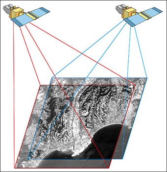
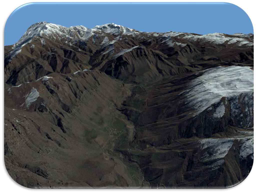
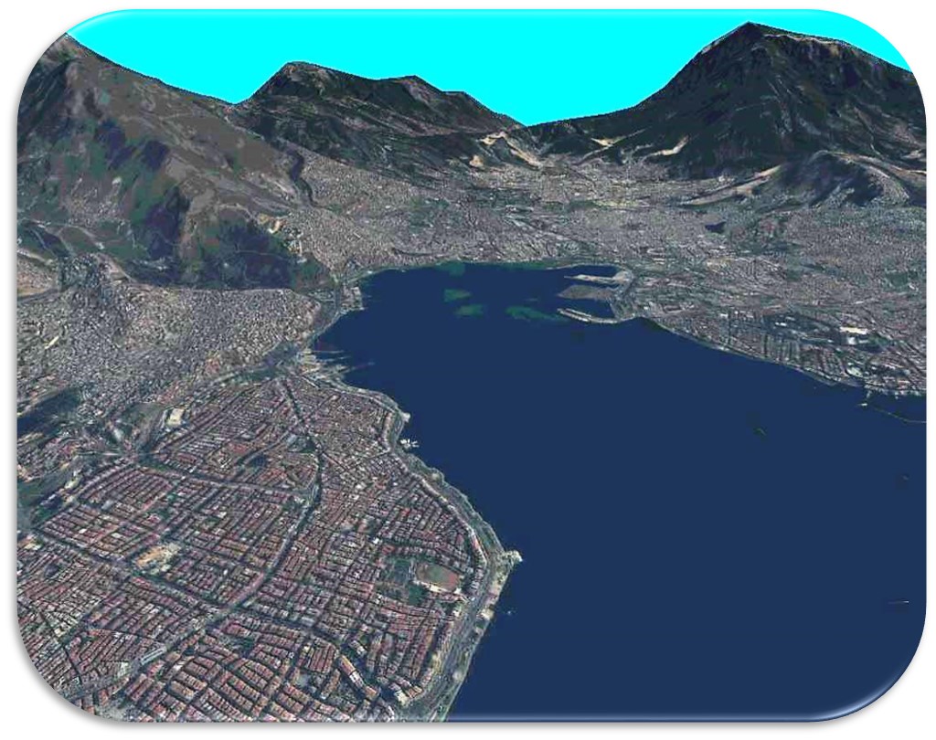
3D realistic models can be produced by wrapping 1.5 m resolution multispectral images taken simultaneously on the digital terrain model produced from tri-stereo images obtained by remote sensing methods.


