Damage Detection After Forest Fire
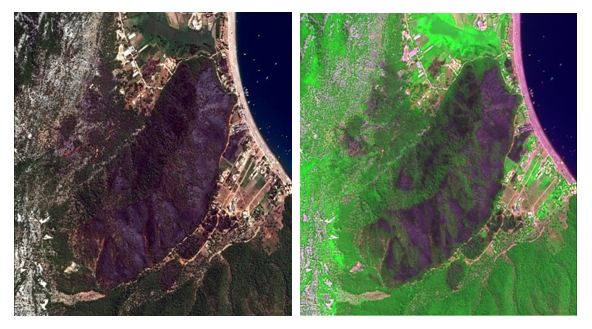
The areas affected by the fire can be determined with the acquisition of near real-time satellite images after the fire and object-based classification, and the damaged species can be determined by comparing with the stand map.
Flood Maps
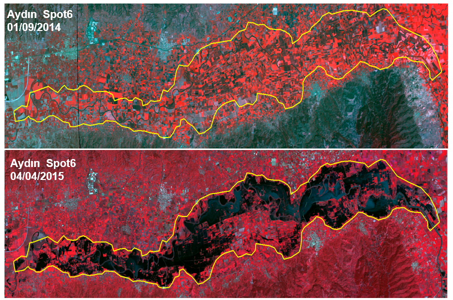
First and second degree agricultural lands affected by the flood can be detected with satellite images obtained before and after the flood.
Post-Earthquake Damage Detection

The effect of the earthquake on human structures and the loss of damage can be determined from the satellite images obtained after the earthquakes.
Reconstruction Peace Practices
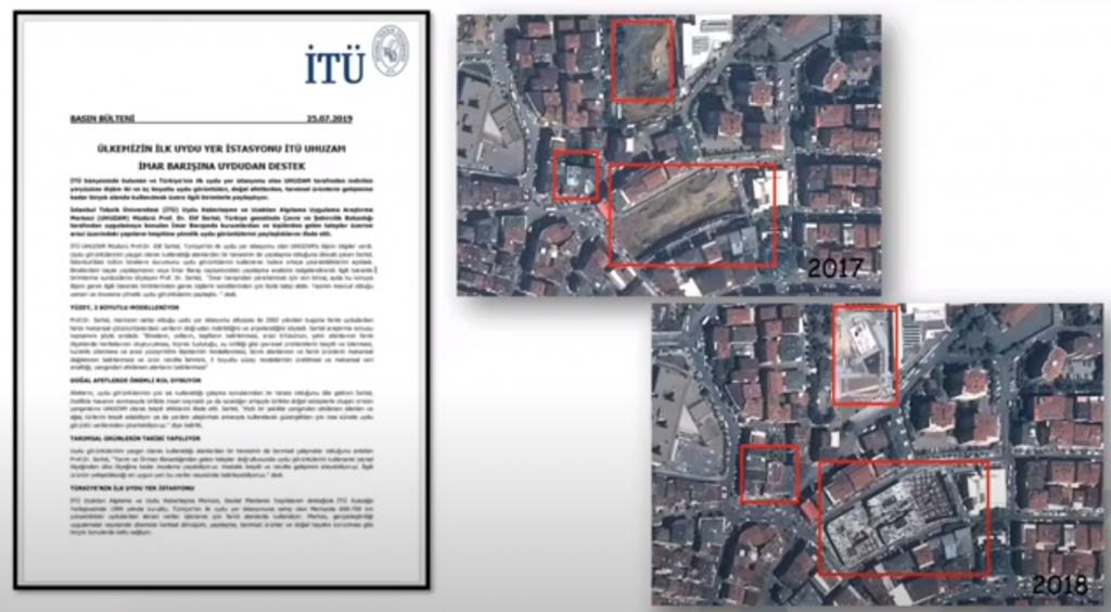
Within the scope of the reconstruction peace, the changes on the reconstruction parcels and the newly built houses can be detected from satellite images in different temporal resolution.
Oil Leak Reporting
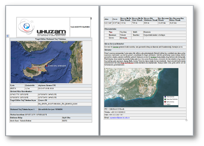
The release of substances with different chemical properties over the seas can be examined through satellite images.
Counting Trees and Determining Greenhouse Areas
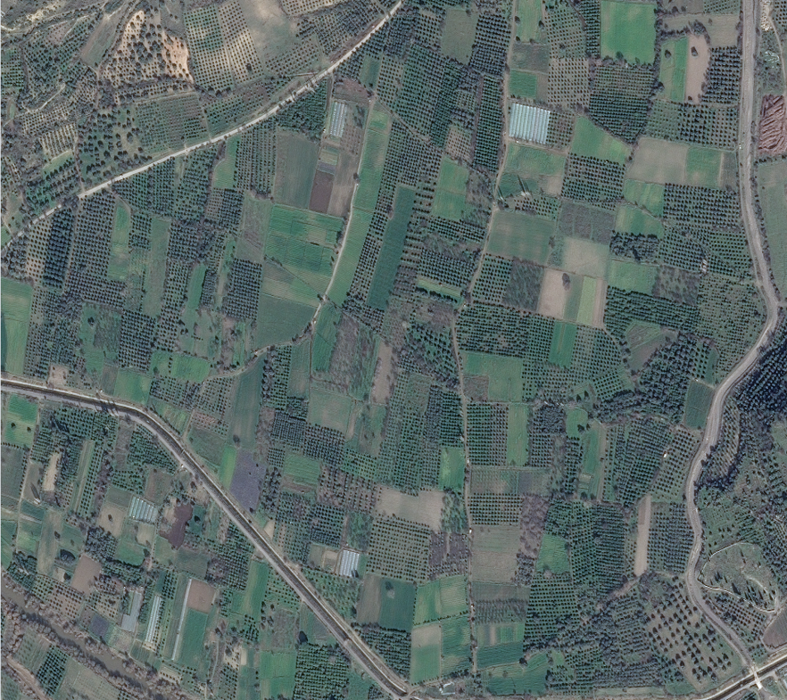
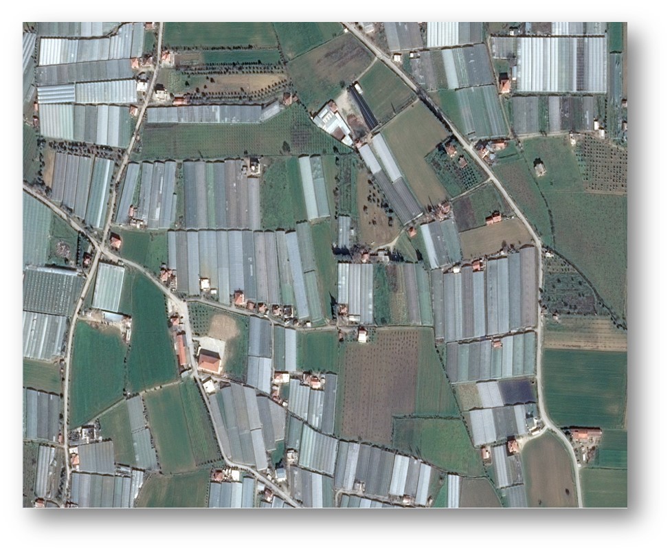
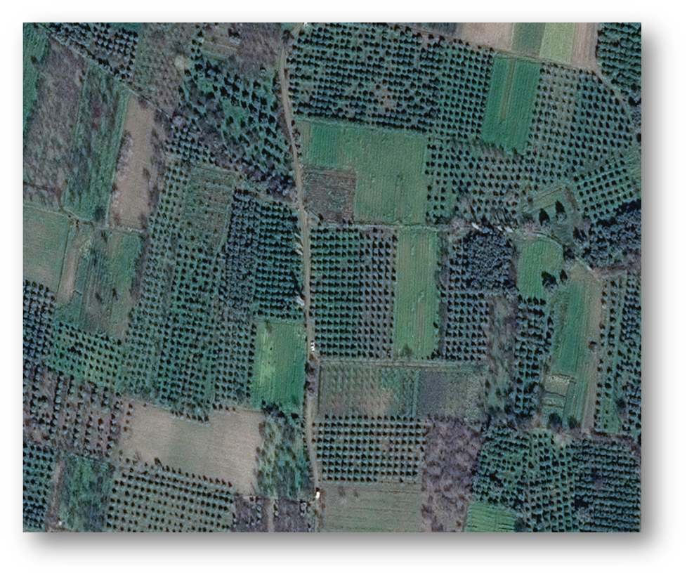
Tree density in different seasons and greenhouse areas can be determined from high resolution satellite images.
 CSCRS İTÜ – Center for Satellite Communications and Remote Sensing