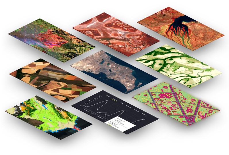
The WEBGIS software developed by UHUZAM, satellite images and raster and vector data on which various analyzes are performed are presented to users through web map services.

Users can access data both through web map services in CAD / GIS software (ArcGIS, QGIS, NetCad) and from the web interface.
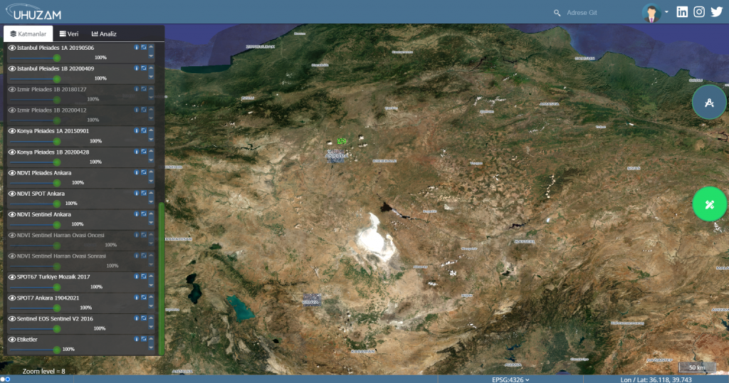
UHUZAM WEBGIS Web interface serves over the address https://maps.cscrs.itu.edu.tr. Instant change analysis, image analysis, etc. via the web application. transactions can be made.