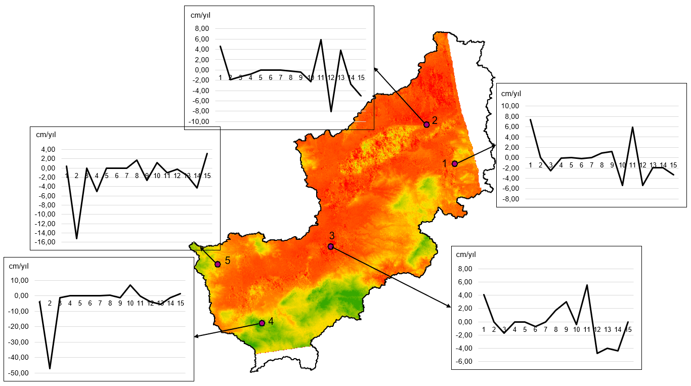
With active remote sensing methods, thematic maps can be produced from satellite images recorded as amplitude and phase information in all weather conditions, day or night, and deformations can be determined by interferometry methods.


With active remote sensing methods, thematic maps can be produced from satellite images recorded as amplitude and phase information in all weather conditions, day or night, and deformations can be determined by interferometry methods.


